June 15, 2013 - Weekend in Chicago
|
|
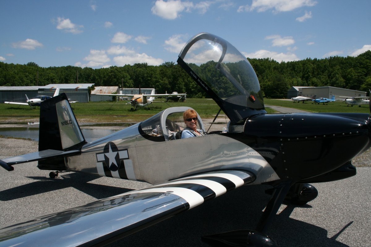
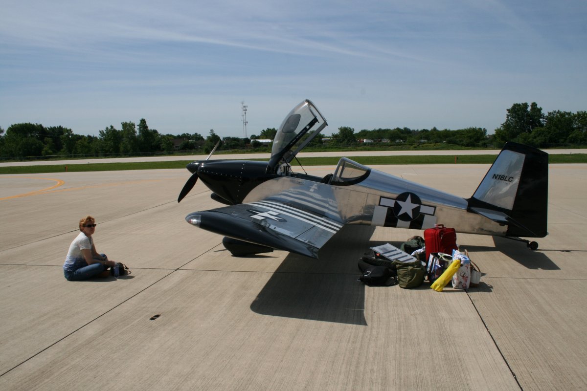
Lynnette has her seatbelt buckled and seat tray in the upright position, ready for her private flight to Chicago. We are going to visit my college roommate Frank and his wife Gail -- longtime friends -- for the weekend. Departing Friday and returning Monday. Forecast looks excellent all weekend. We scheduled this trip last fall but a little thing called Hurricane Sandy disrupted our plans.
|
| |
 |
|
|
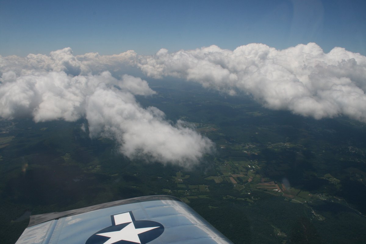
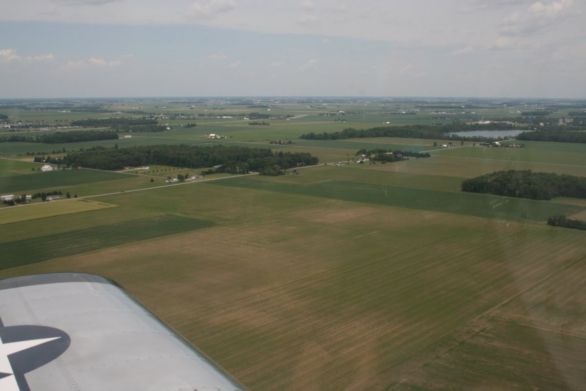
Headed west-northwest over the green Appalachian Mountains partly obscured by some puffy cumulous clouds. I like flying with some clouds; it's boring with just clear blue sky.
|
| |
 |
|
|
Lynnette catching some shut-eye.
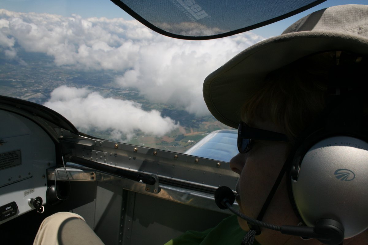
We only had a slight headwind and were able to make pretty good speed.
|
| |
 |
|
|
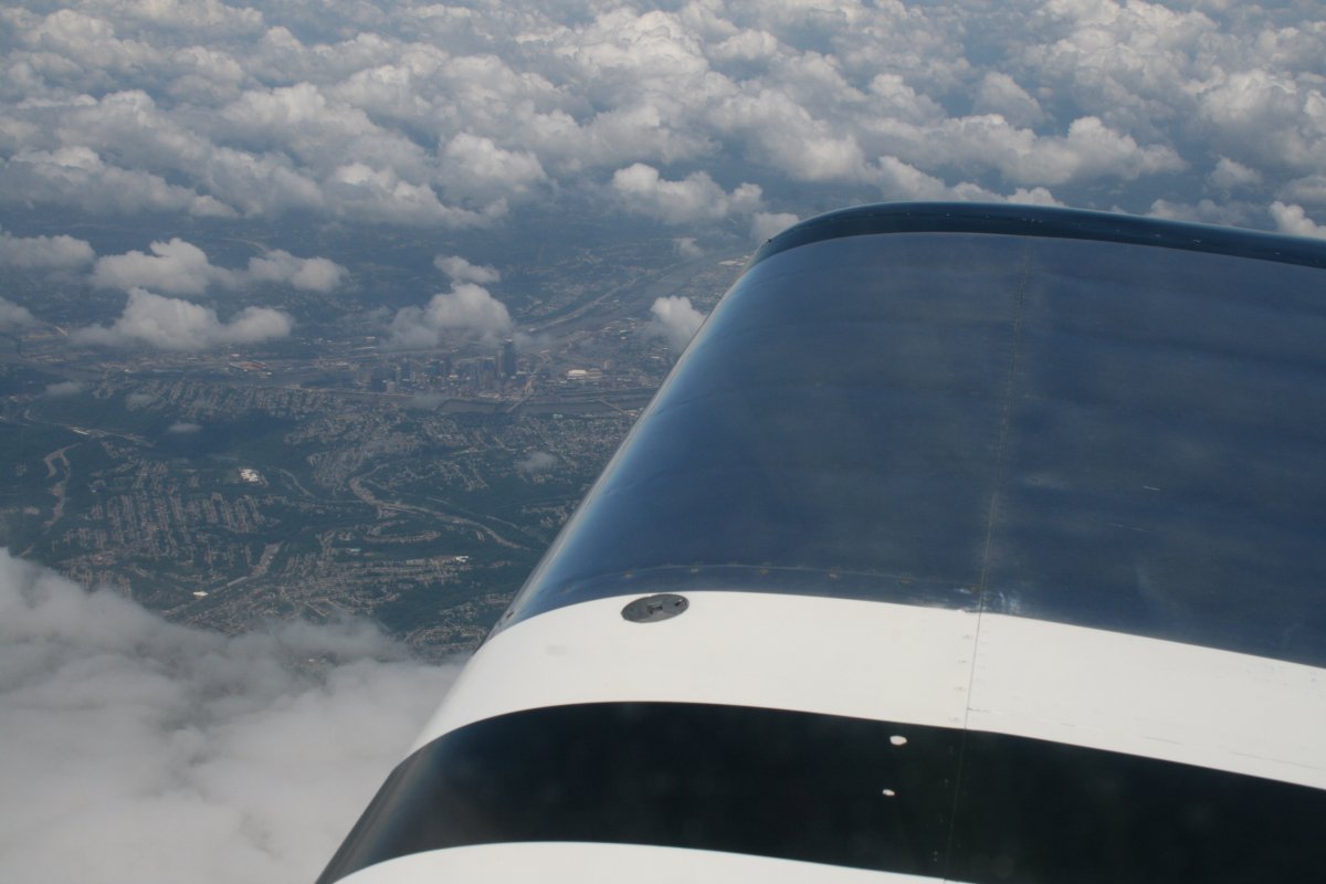
Looking down at the city of Pittsburgh. Pittsburgh International Airport is to the west of the city, and has a lot of Class B airspace I have to stay clear of. In the past, I've always skirted Pittsburgh to the south. But today, we were high at 10,500 feet so I just cruised right over the top. The Class B airspace only goes up to 8,000 feet.
|
| |
 |
|
| Just forward of the wing you can see the football stadium -- where the hated Pittsburgh Steelers play -- to the left of city center. You can also make out the where the Allegheny River from the northeast and Monoghahela River join to form the Ohio River leading off to the northwest. |
| |
 |
|
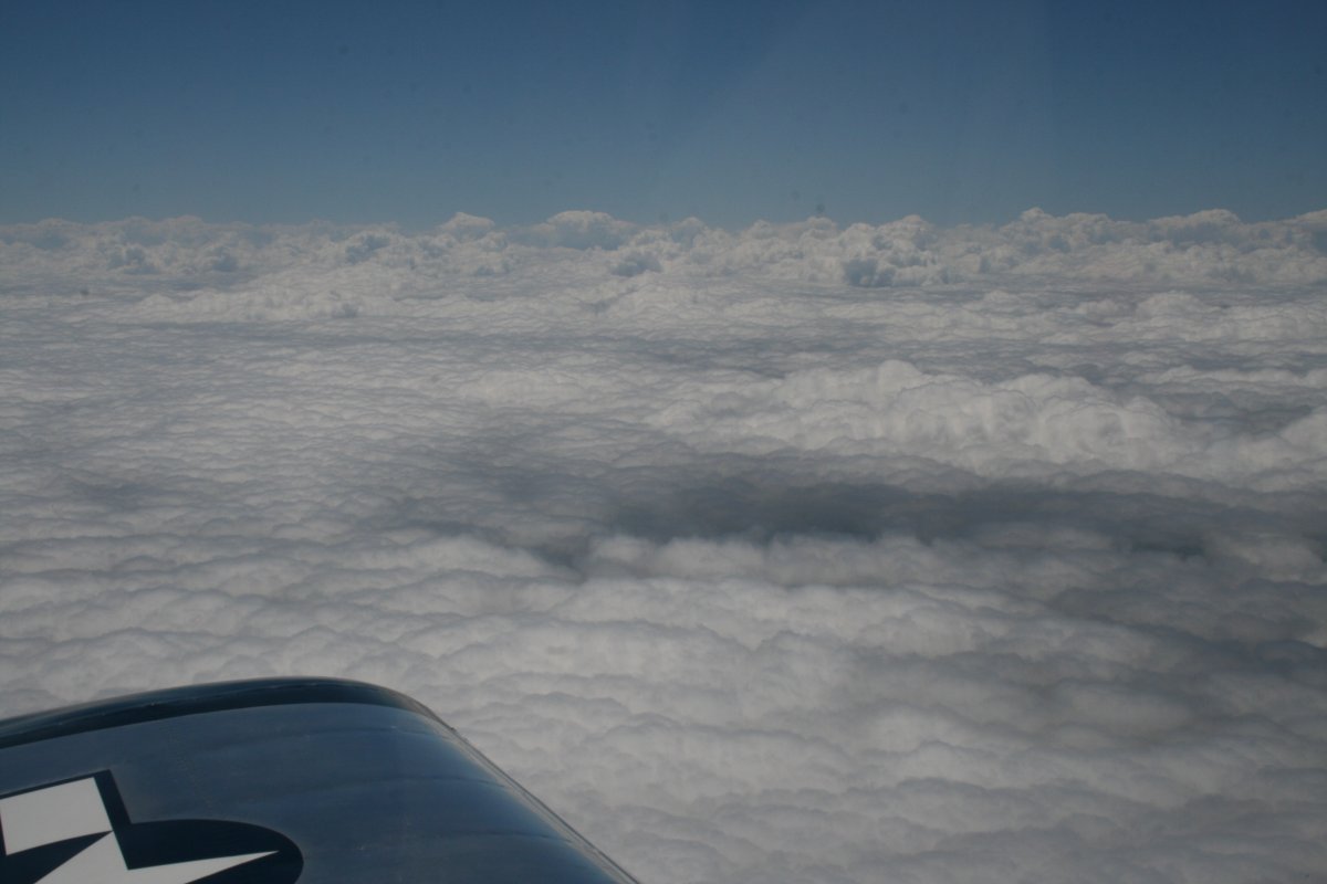
| But looking to the south there was a solid layer below us. |
| |
 |
|
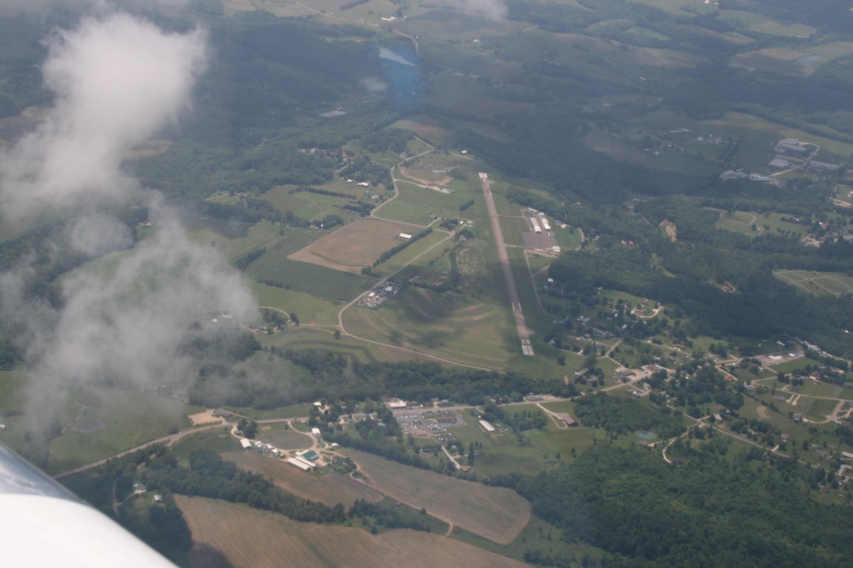
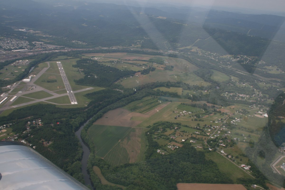
| Our planned stop was at Carroll County-Tolson Airport (KTSO) just on the west side of the Pittsburgh Class B but in Ohio. Because we were so high, we had to make a fairly steep descent. Break out the chewing gum! |
| |
 |
|
|
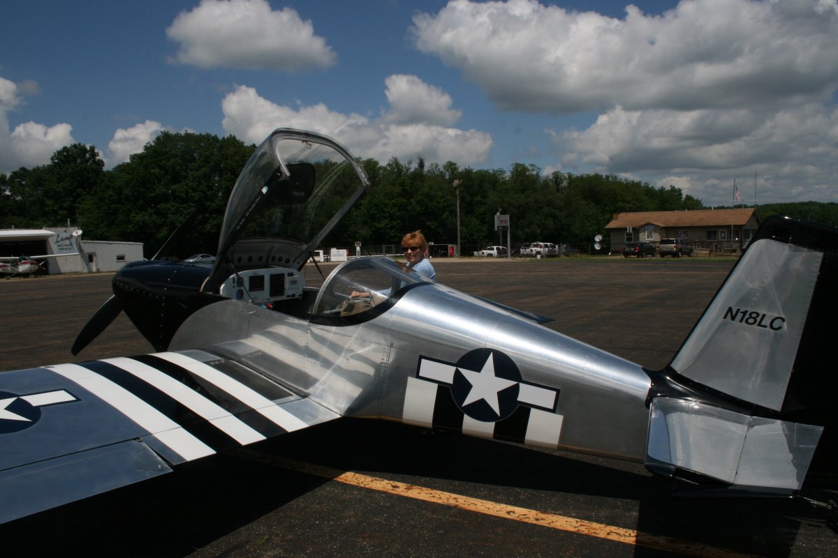
Why Carroll County - Tolson? The on-field restaurant, of course. There it is, to the right of Lynnette. We had a nice breakfast/lunch in the restaurant, topped off with their specialty: pie. They had 20+ different kinds to choose from. I had blackberry.
I like to break my cross-country flights up into two hour or so segments, so this stop was perfect for Chicago. Roughly halfway. I topped off the plane -- fuel prices here were the same as my home airport -- which are on the low end of the spectrum although still hideously high.
To the left is a aircraft maintenance operation where you could get help if you needed it. All in all, this airport is a very nice cross-country stop. "I'll be back."
|
| |
 |
|
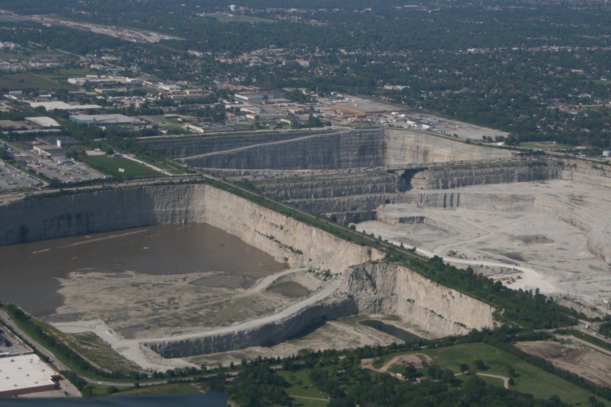
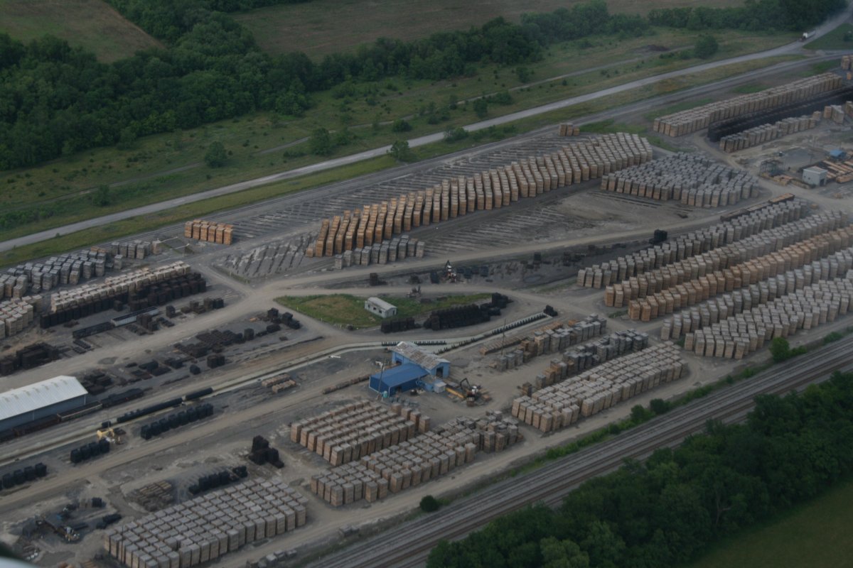
| We continued on to the Chi-town. On the southside of town we flew by this massive quarry complex. I wonder what they extracted out of it? |
| |
 |
|
|
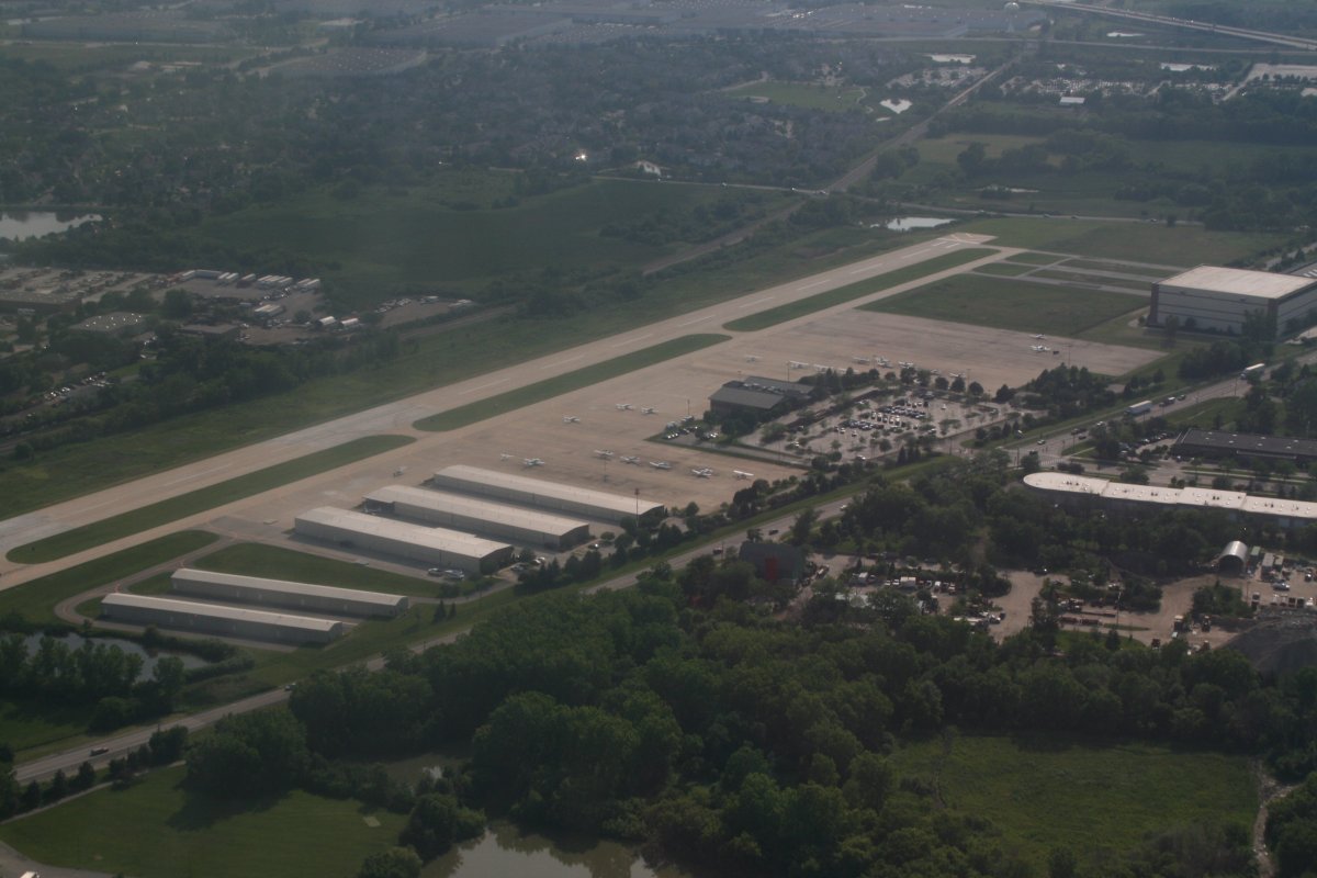
In my past flights to Chicago, I have stayed at Chicago Executive -- the airport formerly known as Pawaukee but this time I decided to try a different place: Schaumberg Regional (06C), the fuel and tie-down charges would be significantly cheaper plus I just wanted to try something different. Here we are on downwind at Schaumberg. The massive Chicago O'Hare airport is only nine miles to the east and clearly visible.
|
| |
 |
|
| About to turn final for runway One One. |
| |
 |
|
|
Frank picked us up at the airport and drove us to their favorite Sushi restaurant where we met Gail and Paul and proceeded to catch up over a great dinner.
The next day Frank drove us around Chicago which Lynnette had never seen outside of the airport. And I myself hadn't seen since Frank drove me around 32 years ago.
Below is all that's left of Meigs Field Airport: the control tower and terminal building. For those of you that don't know, Meig's Field was a single strip airport that operated from December 1948 until March 2003. It was built on Northerly Island, the man-made peninsula that was also the site of the 1933–1934 Century of Progress in Chicago. It is very close to the Chicago Field Museum, Soldier Field, the Aquarium and the Planetarium. In other words, it is practically downtown Chicago. The airport achieved international notoriety when on the night of Sunday, March 30, 2003, Chicago Mayor Richard M. Daley, in dictatorial fashion, ordered city crews to destroy the runway immediately, bulldozing large X-shaped gouges into the runway surface. The required notice was not given to the Federal Aviation Administration or the owners of airplanes tied down at the field, and as a result sixteen planes were left stranded at an airport with no operating runway, and an inbound flight had to be diverted by Air Traffic Control, because of equipment scattered on the runway. The stranded aircraft were later allowed to depart from Meigs' 3,000-foot taxiway.
Setting aside the little manner of a government official just doing whatever the hell wants, it's a real shame because once you lose an airport like this, you can never get it back. All that the runway area is now used for is walking trails.
|
| |
 |
|
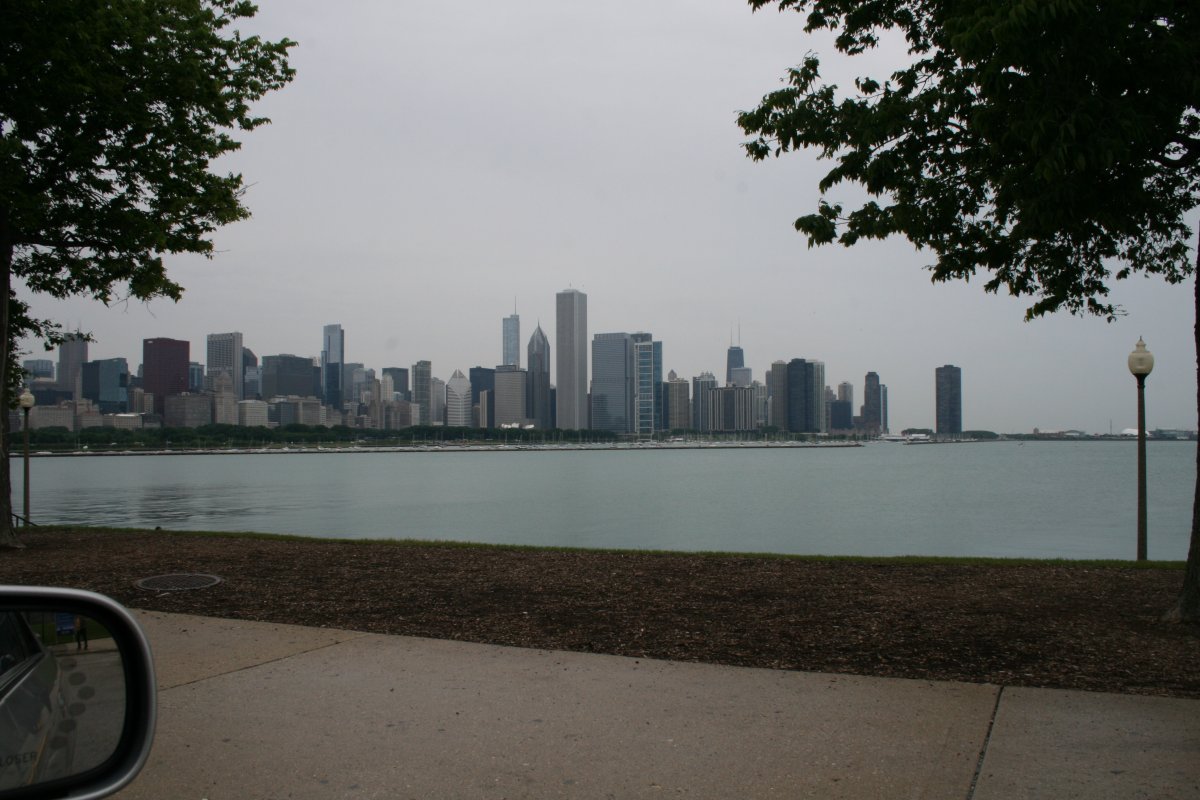
| The Chicago skyline from the Northerly Island causeway. |
| |
 |
|
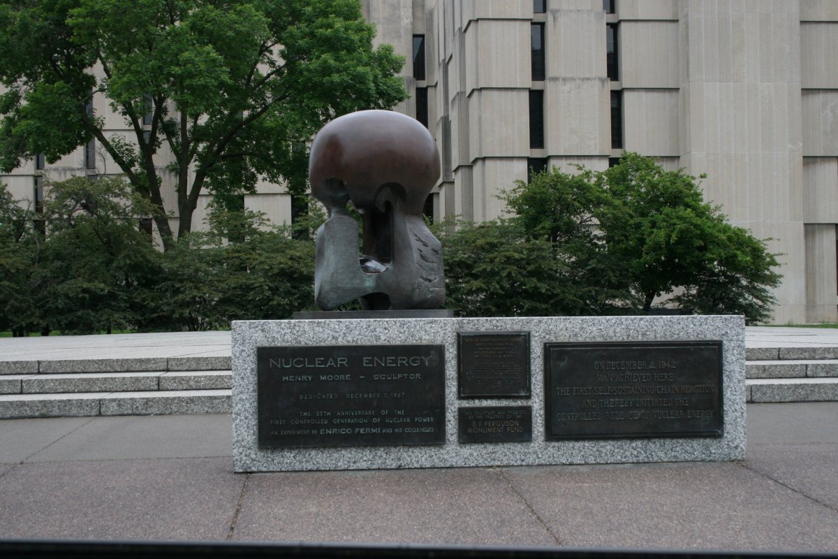
On Saturday, Frank drove us around the University of Chicago. Here is the actual site of the first self-sustained nuclear chain reaction on December 2, 1942, using Chicago Pile-1 (CP-1) the world's first nuclear reactor. At the time this location was a squash court under the University's Stagg Field. |
| |
 |
|
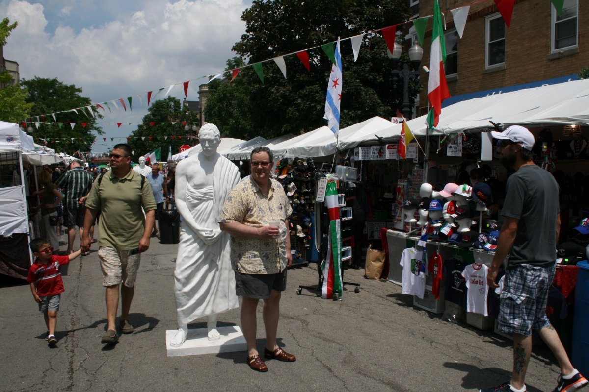
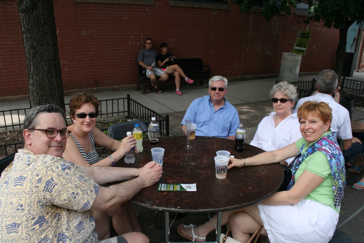
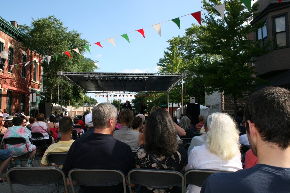
| On Sunday we attended the Italian Streetfest. Here, Frank poses next to a fellow Italian philosopher. |
| |
 |
|
|
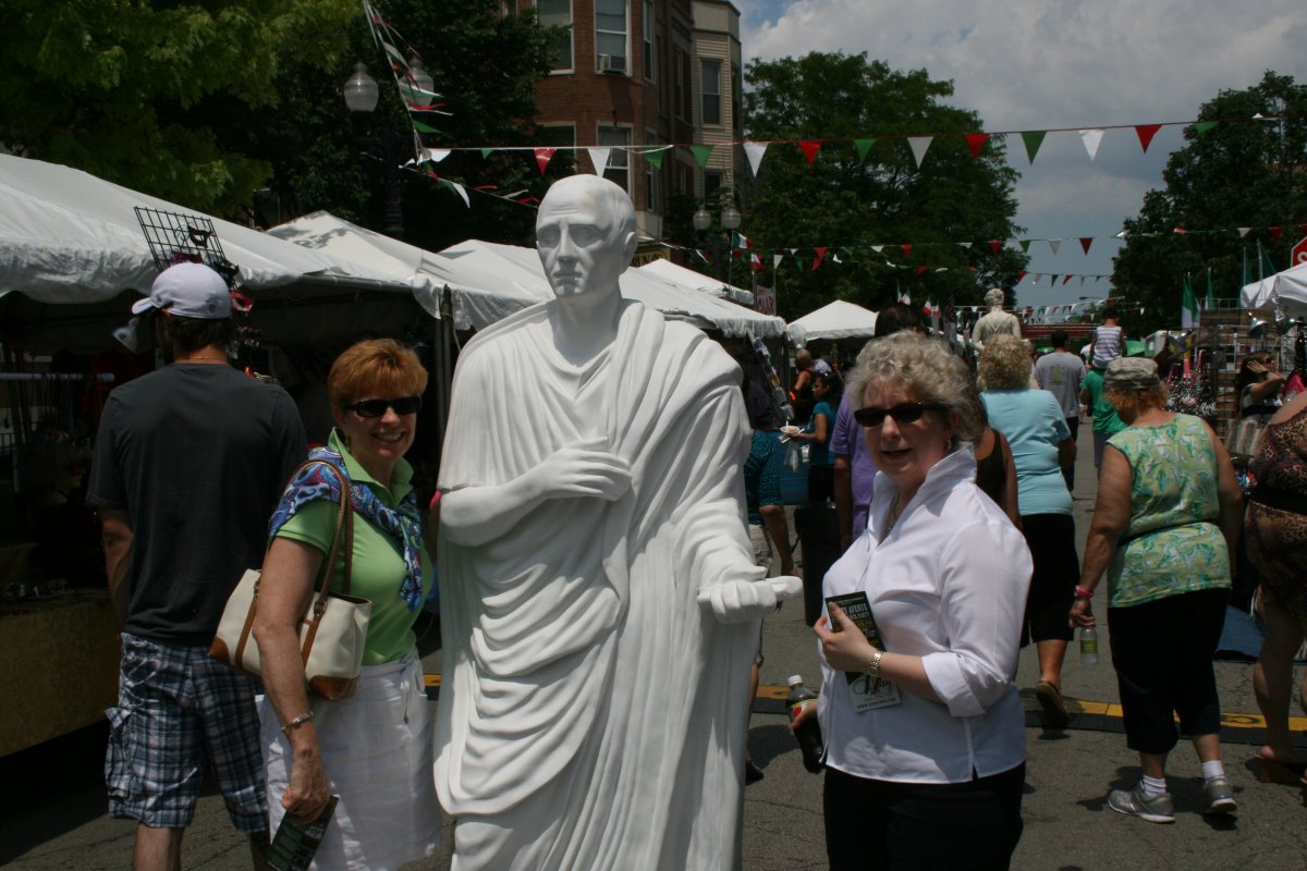
Lynnette and Gail hanging out with another Italian philosopher. Who, I have no idea. Virgil?
|
| |
 |
|
| Hanging out drinking Italian beer and listening to Frank Sinatra and Dean Martin music. It does not get any better than this, my friends. |
| |
 |
|
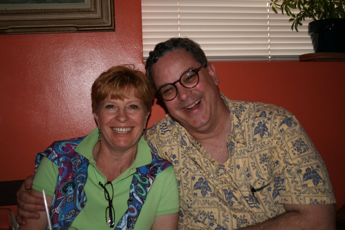
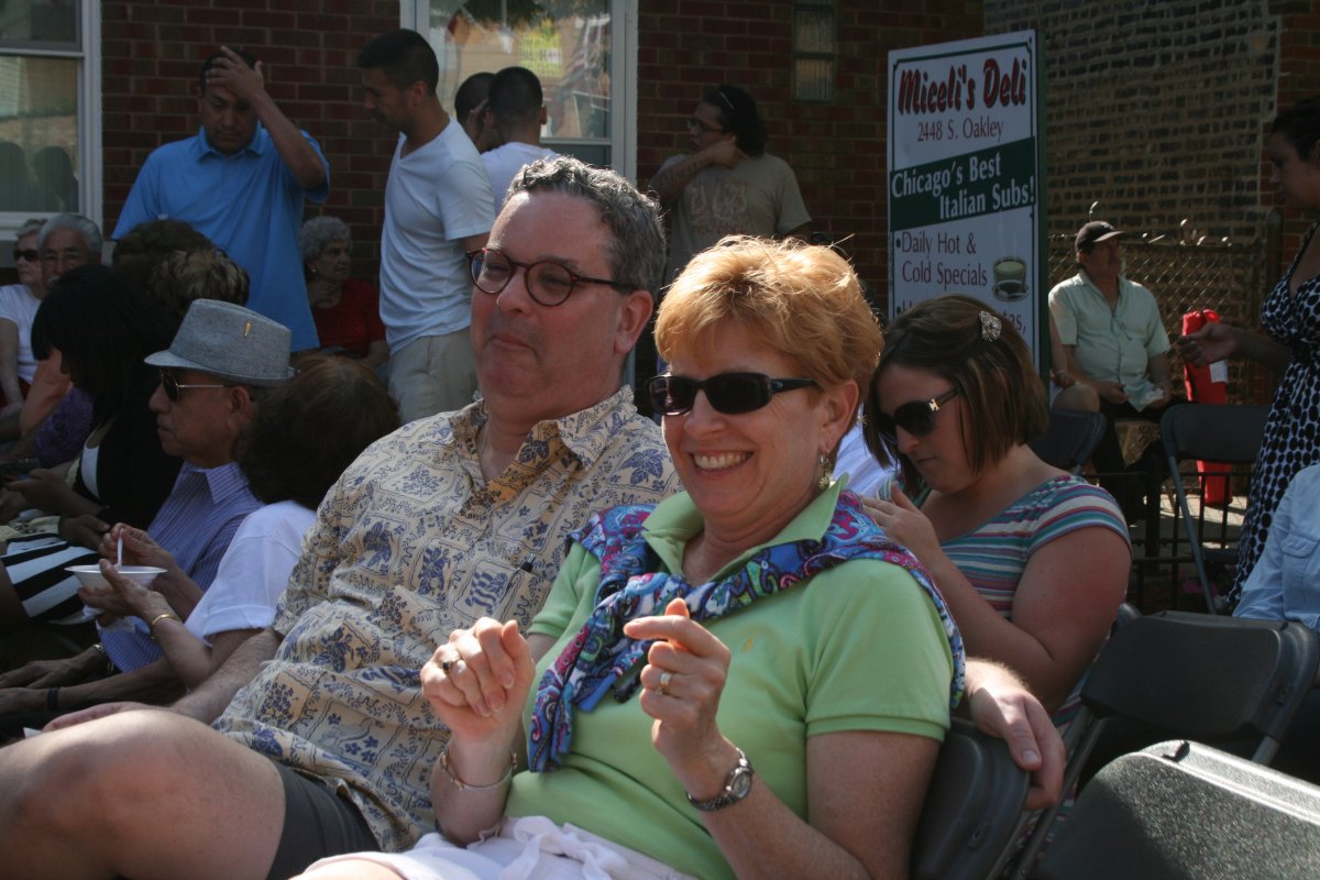
| Well, already, it has! Frank and Lynnette having a good time at the Italian restaurant: Bruna's. |
| |
 |
|
| |
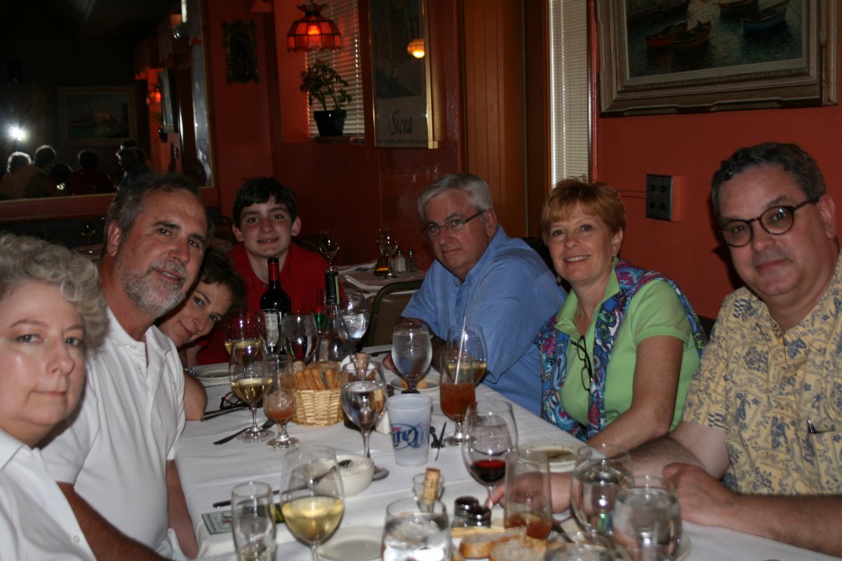
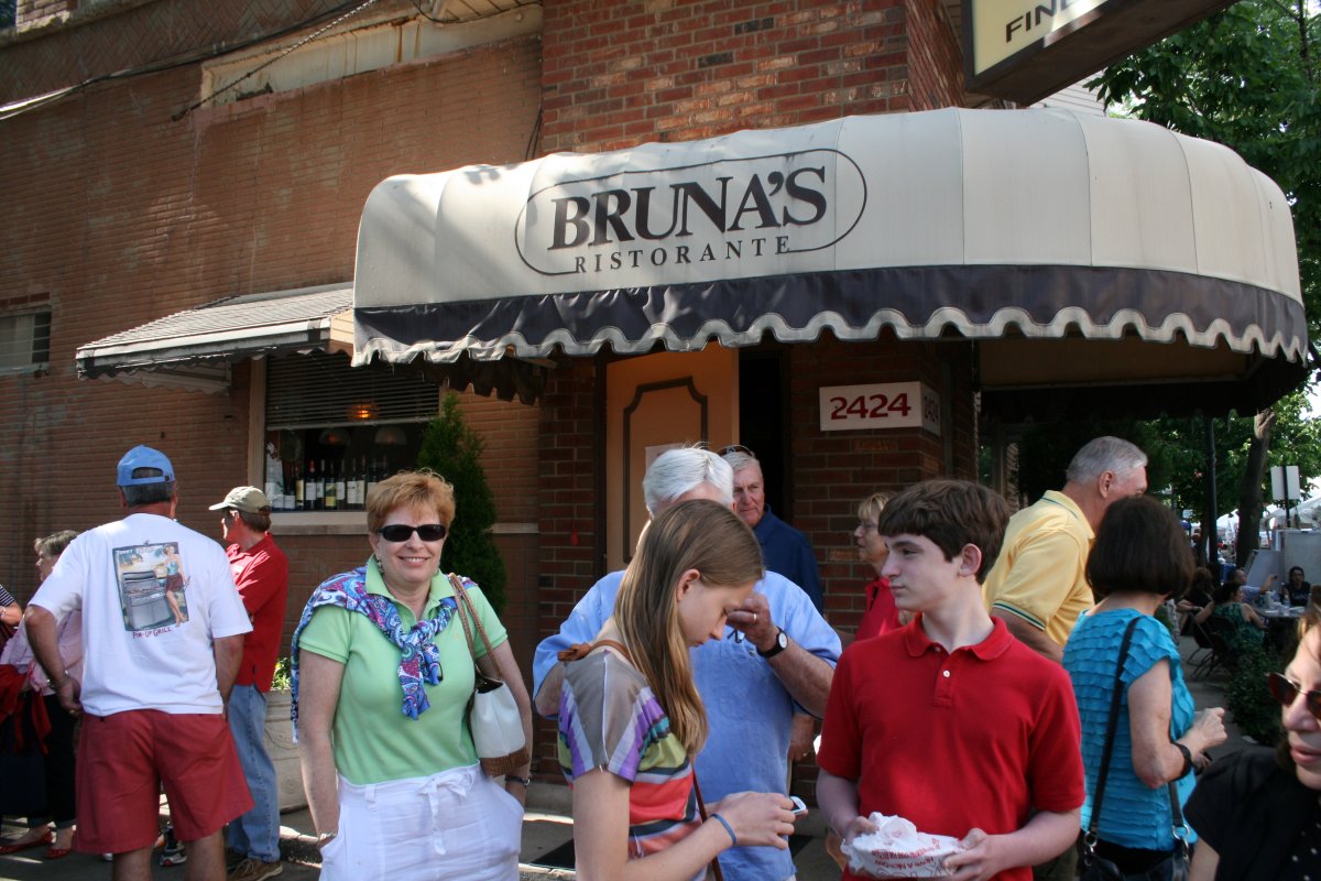
| The entire gang at Bruna's. |
| |
 |
|
|
Lynnette showing off her dessert.
|
| |
 |
|
|
Back on the street.
|
| |
 |
|
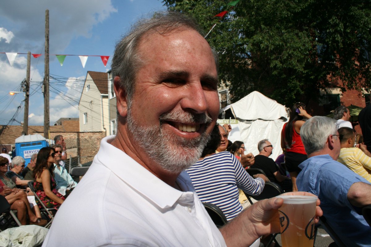
| Listening to some Frank Sinatra immitator singers. |
| |
 |
|
| Frank and Lynnette not showing the proper respect. |
| |
 |
|
| Having a great time at Streetfest. |
| |
 |
|
|
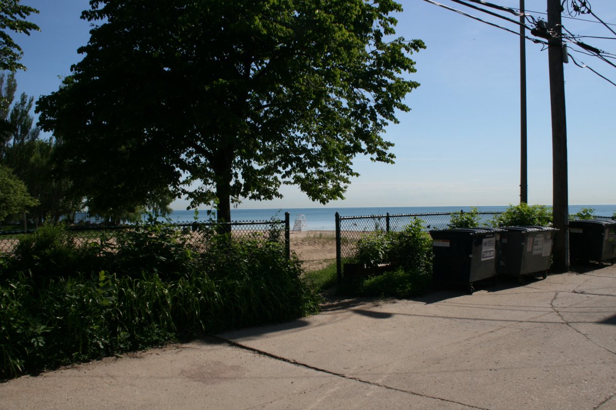
Back at Frank and Gail's house. This is view of the beach and Lake Michigan from their carport. Yes, I said beach. Not something you think about when you think of Chicago, is it?
|
| |
 |
|
| All too soon, the weekend was over. Frank dropped us off at the airport Monday morning. Here, despite having an "A" card, Lynnette has to wait in line to board the aircraft. She is not particularly impressed with this airline. |
| |
 |
|
|
Schaumburg surprised me by how upscale it was. The runway and ramp were in excellent condition, almost like new. Deluxe FBO facility. There was even a very nice on-field restaurant -- Pilot Pete's -- on the top floor of that building overlooking the runway. We did not have a chance to try it out though.
I was right about the costs too. Avgas prices were $2/gallon less than the other Chicago airports and the landing fees were negligable. The only drawback is that Shaumburg is a little bit of a drive from Frank's house. Meig's Field would have been the most convenient for us, though, if Daley hadn't bulldozed it.
|
| |
 |
|
|
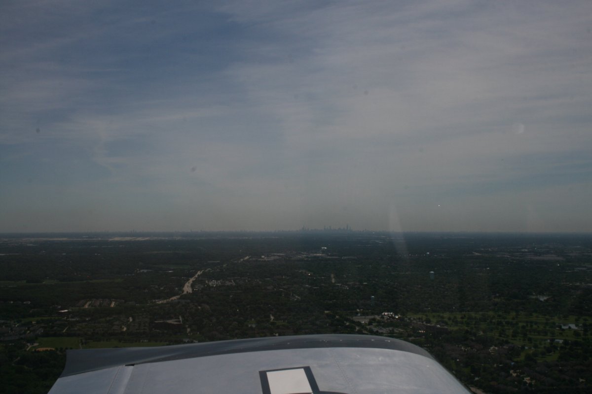
We took off and headed south to clear Chicago, then south-southeast towards Fort Wayne, Indiana.
You can see the Chicago skyline to the east. O'Hare is visible to the left.
|
| |
 |
|
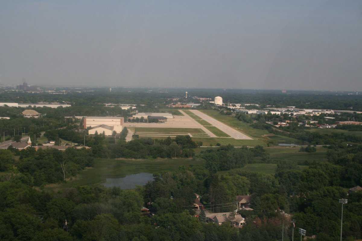
| Climbing to altitude, we passed by Porter County airport in Valparaiso, Indiana where I have stopped many times going to and from the big EAA fly-in/airshow at Oshkosh, Wisconsin. |
| |
 |
|
| |
|
We flew right over Fort Wayne, Indiana and landed at Van Wert County Airport, Ohio on the other side. I was dropping Lynnette off so she could spend time with her friend Jayne.
On the downwind at Van Wert.
|
| |
 |
|
|
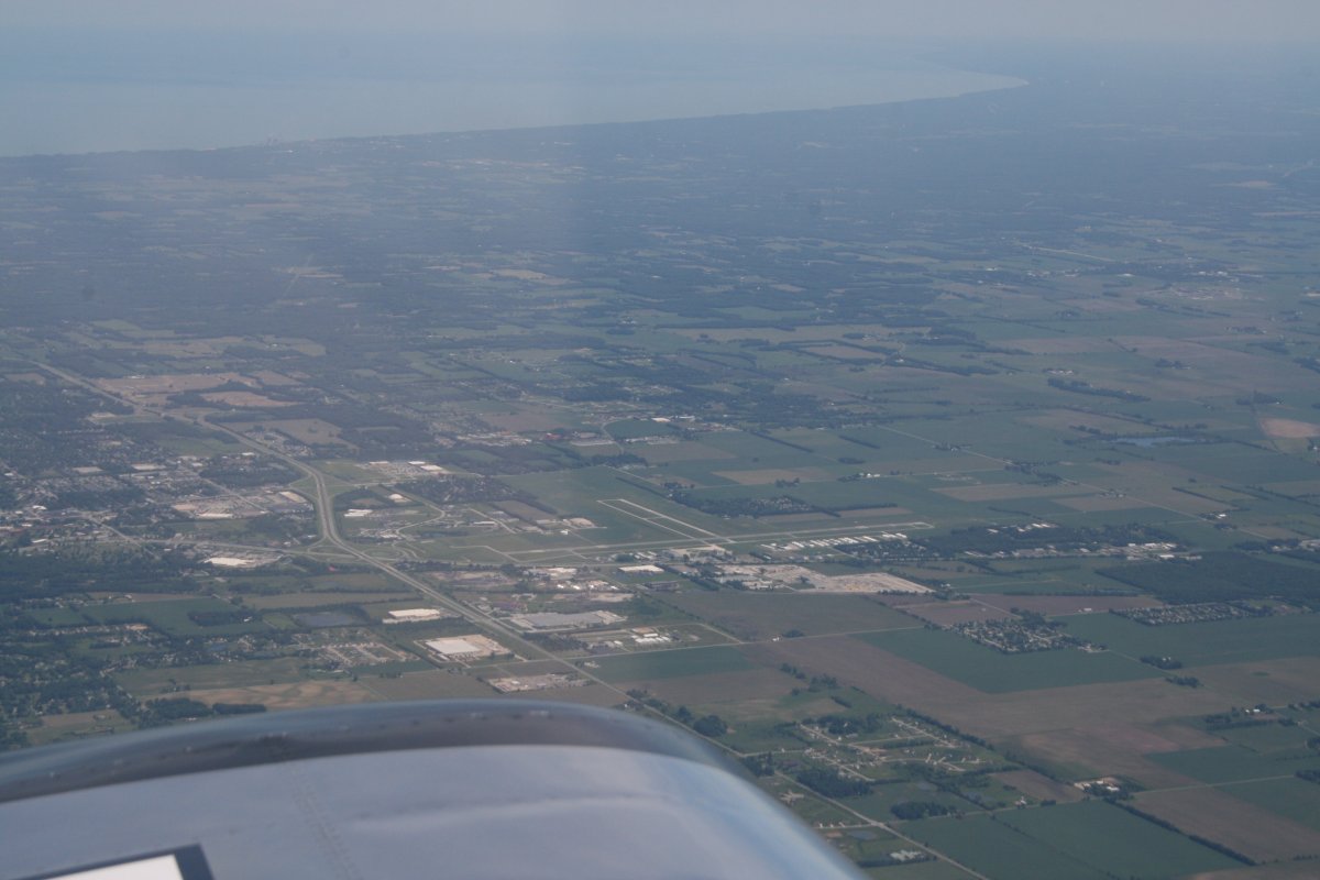
After Bob and Jayne treated us to a nice lunch at a nearby family restaurant, they took off inthe car with Lynnette. I topped the plane off with fuel then took off heading east. I had had enough of boring high-altitude flights so I stayed down low. I wasn't able to go as fast but it was a lot more fun.
|
| |
 |
|
| |
|
Flat farm country gradually gave way to tree-covered hills in eastern Ohio.
|
| |
 |
|
|
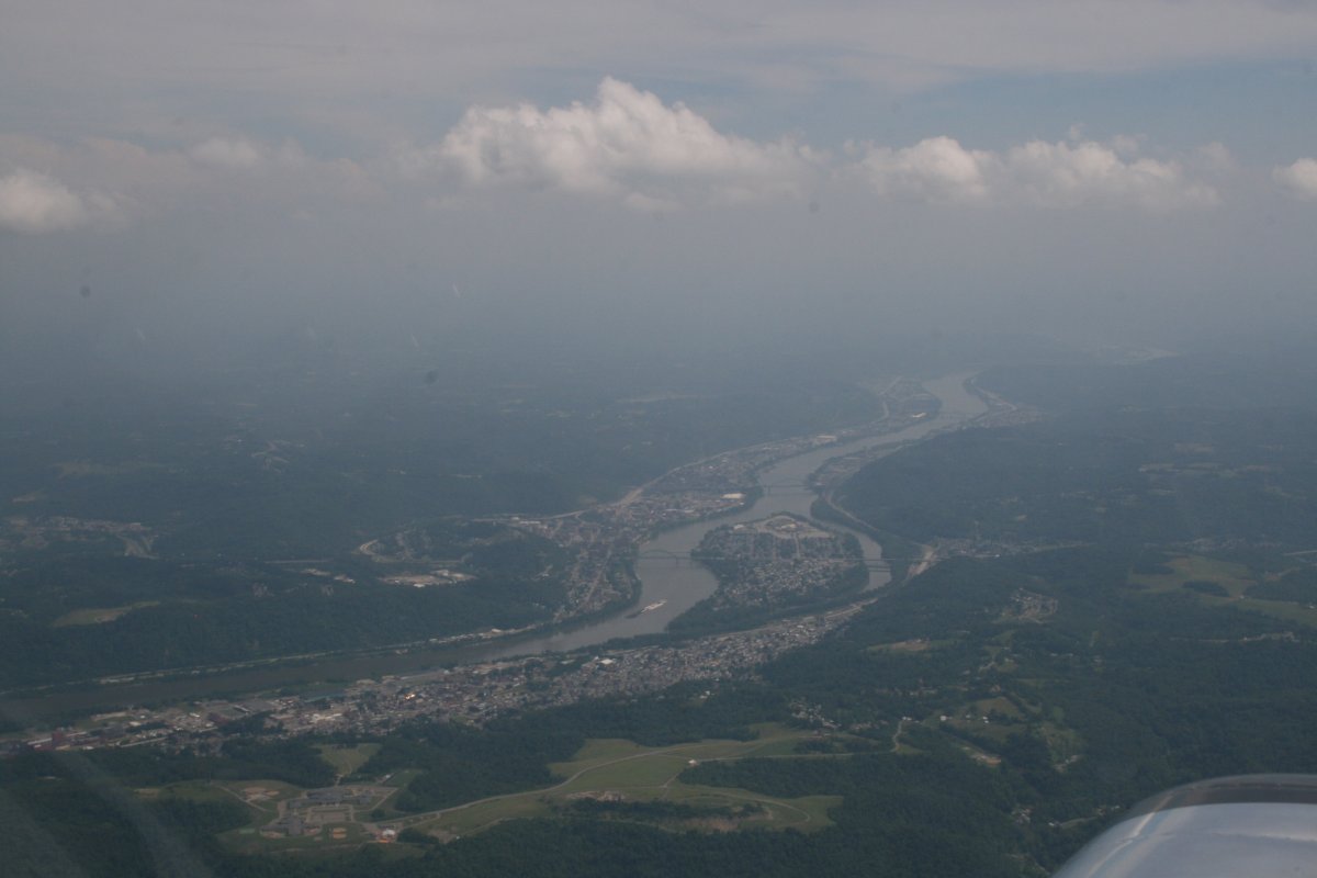
Crossing the Ohio River just north of Wheeling, West Virginia.
|
| |
 |
|
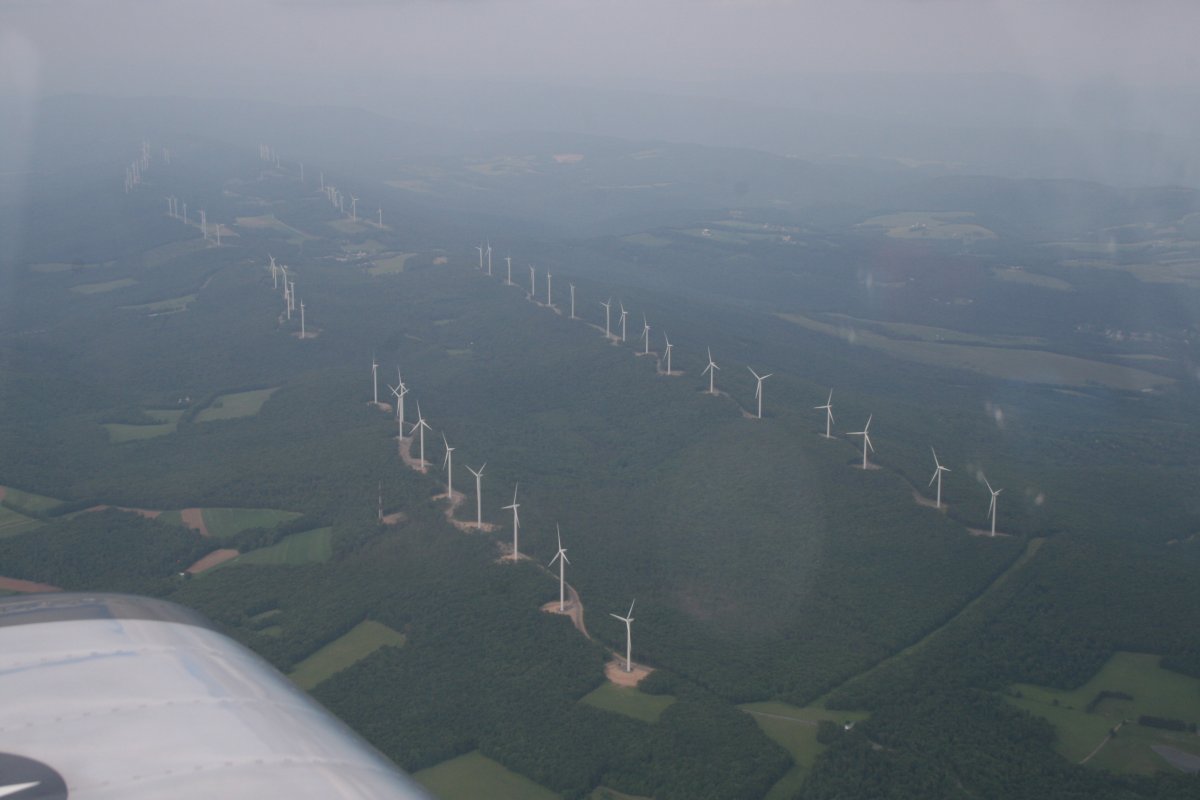
| Lots of windmills on an Appalachian mountain ridge. |
| |
 |
|
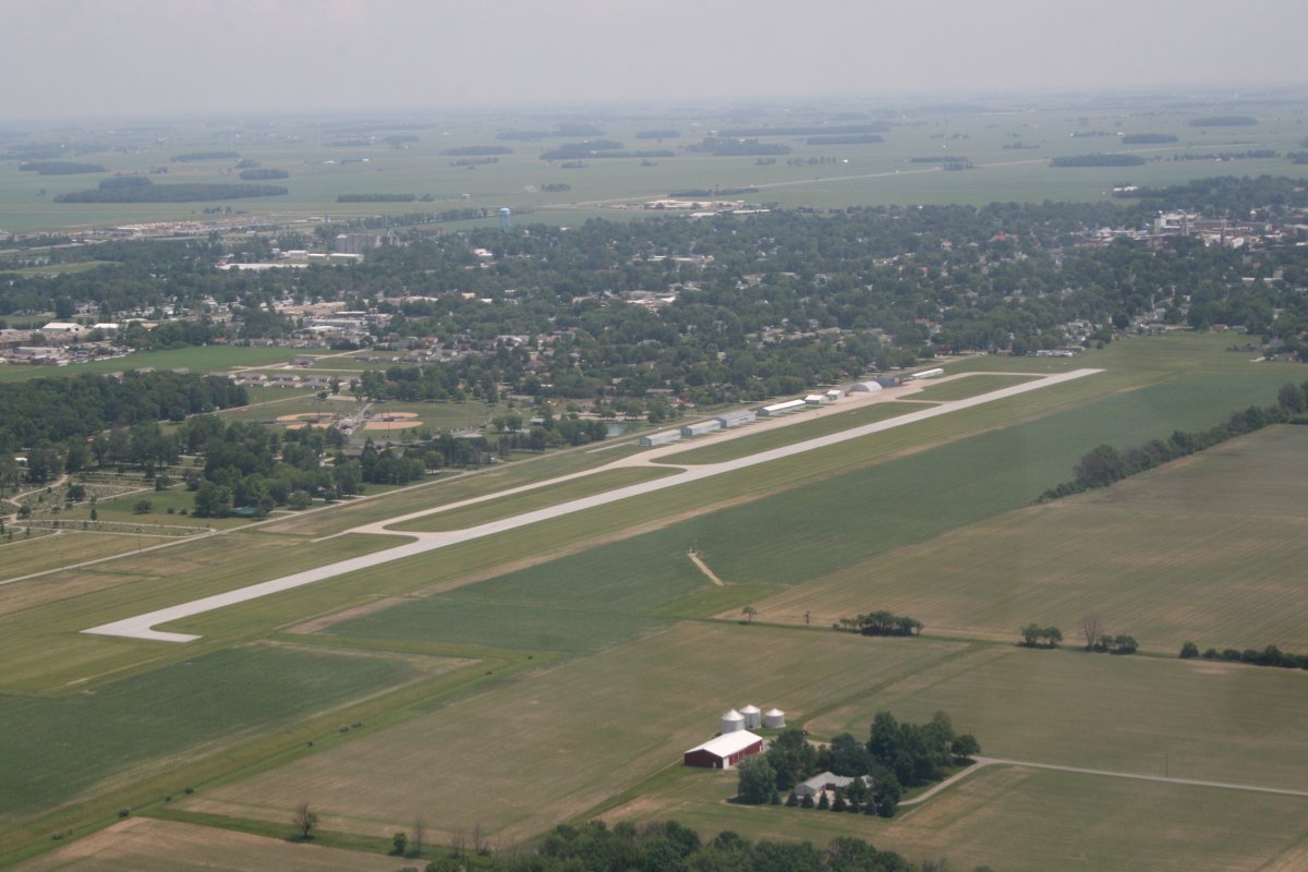
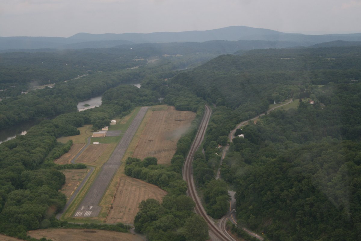
| I flew over Cumberland Airport which you can see clearly to the left. But there is also a grass field airstrip called Mexico Farms in this picture. You can see it just to the right and down a little from center. Some day I must land there. But not today. |
| |
 |
|
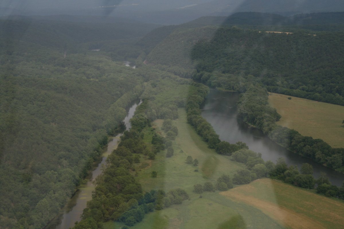
| I descended back down low and followed the Potomac River which runs through Cumberland all the way to the Chesapeake Bay. I don't know what all this stuff is but there is a lot of it. |
| |
 |
|
The country to the east of Cumberland is very forested and very undeveloped. The Potomac River is to the right and the abandoned Chesapeake and Ohio Canal runs alongside it to the left. |
| |
 |
|
| Like I said, very forested and very undeveloped. |
| |
 |
|
|
Flying by Potomac Airpark which lies alongside the Potomac River.
|
| |
 |
|
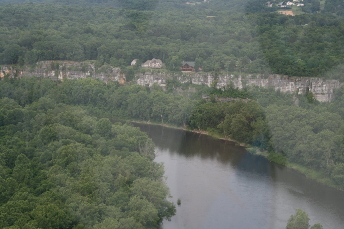
| The Potomac River really meanders through Maryland and Virginia. I thought these houses on the high cliffs overlooking the river were interesting. |
| |
 |
|
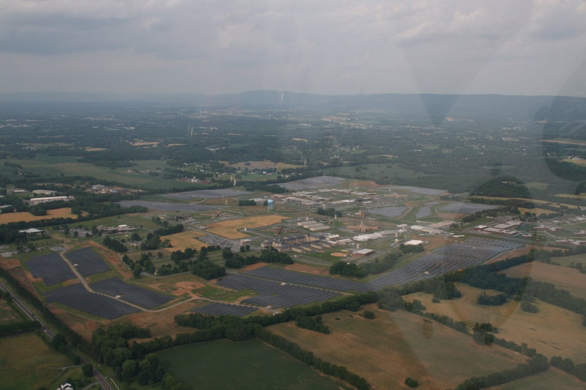
| A big prison complex surrounded by solar panels. |
| |
 |
|
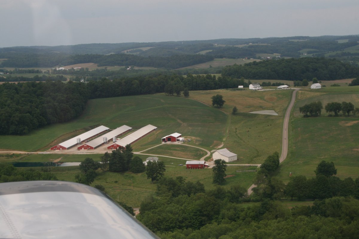
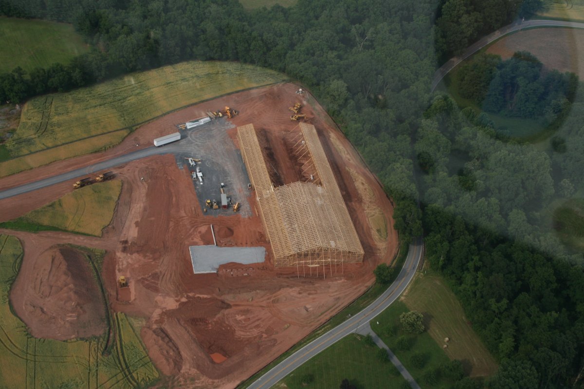
| A large barn or something going up. |
| |
 |
|
|
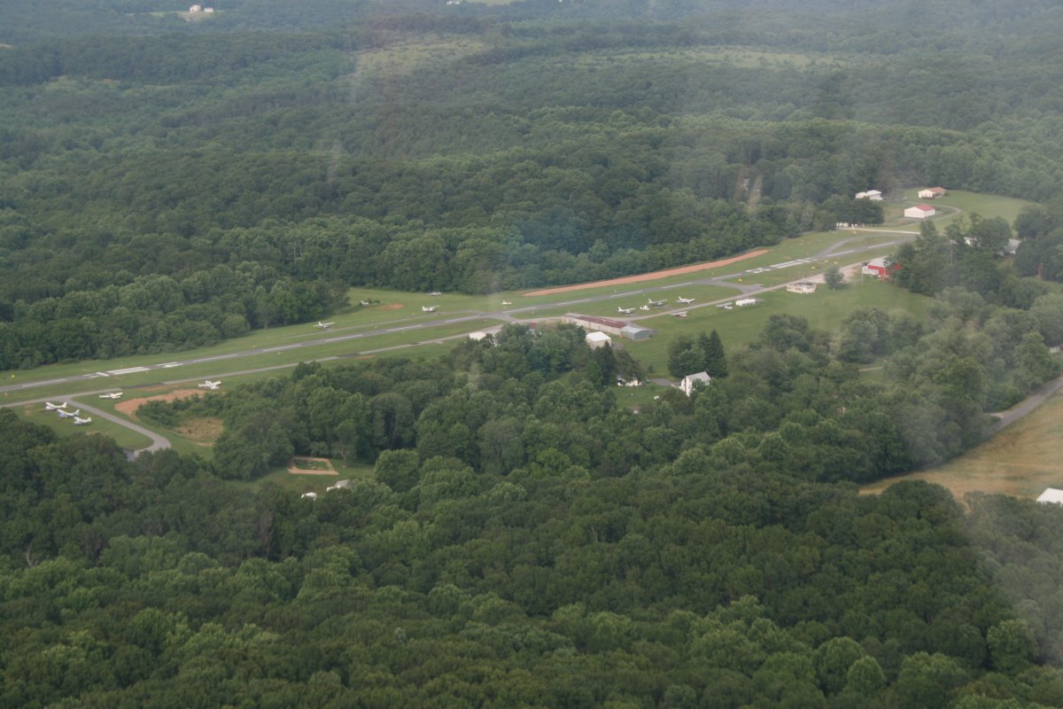
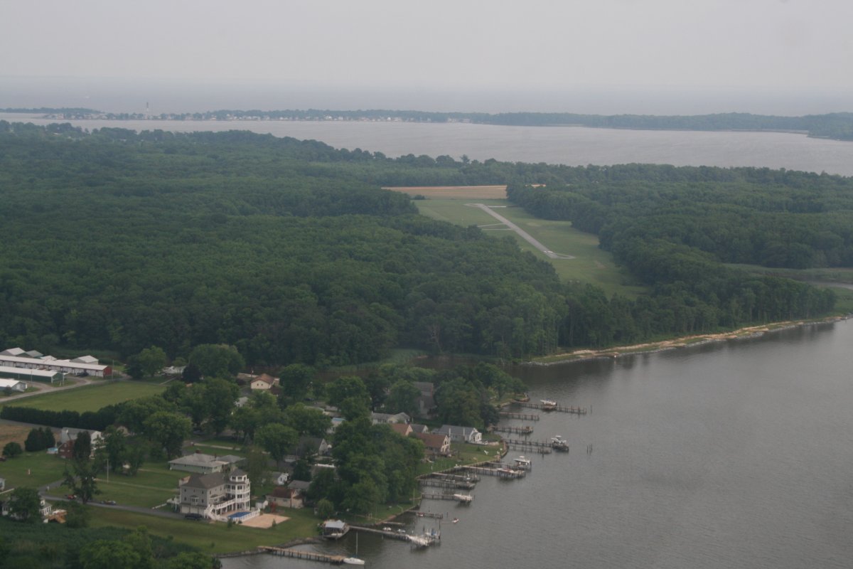
I flew by Clearview Airport which is a challenging place to land. It's not very long and slopes downhill when landing to the west.
|
| |
 |
|
| Almost home. Turning base for landing on runway One Six at Essex Skypark. |
| |
 |
|
| |
| |
|
|
|
|
|
|